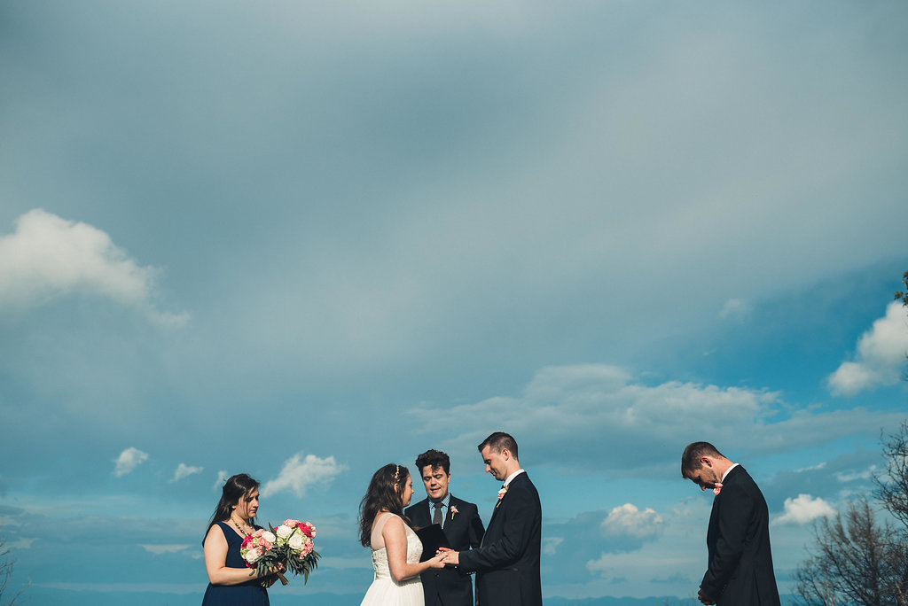
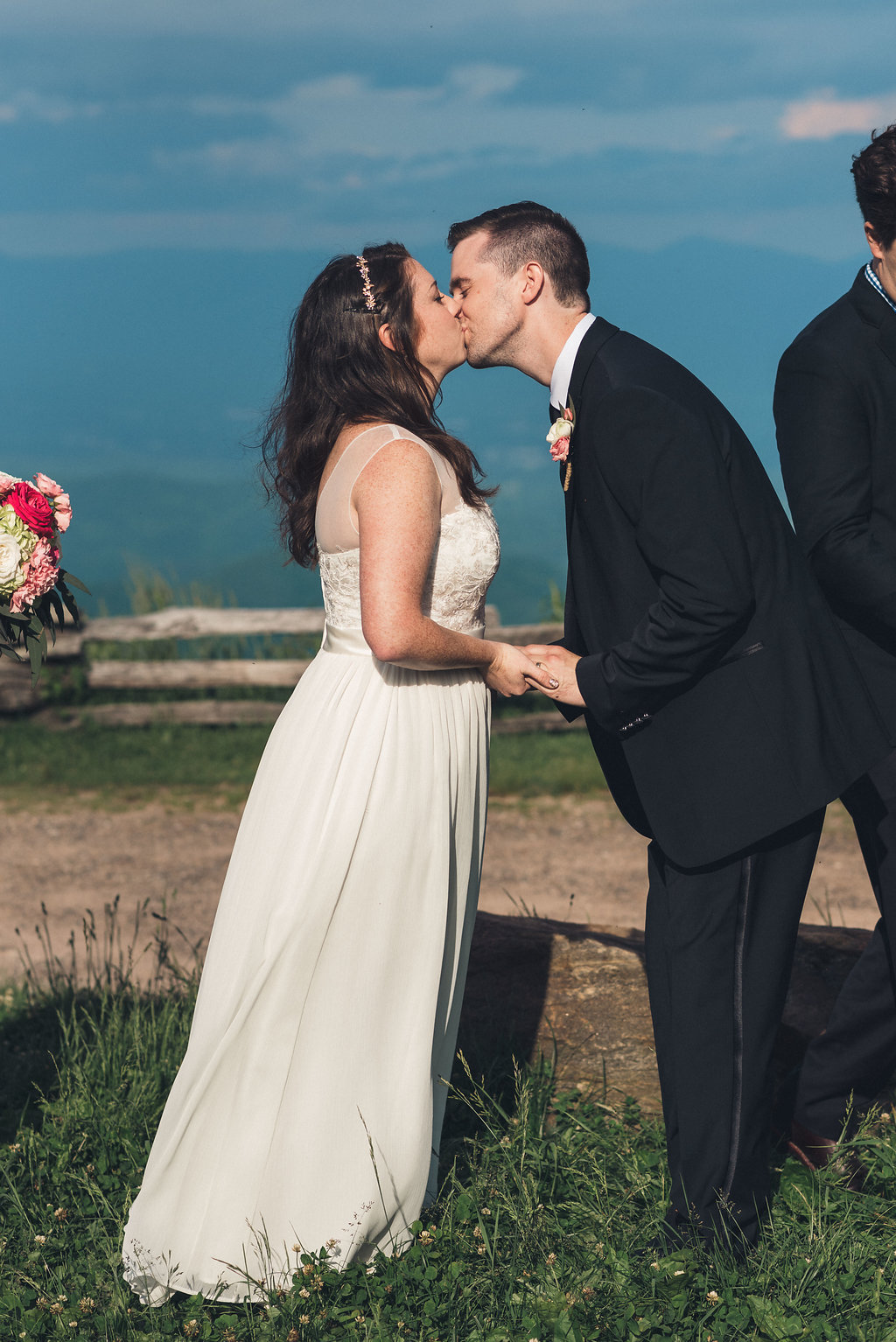
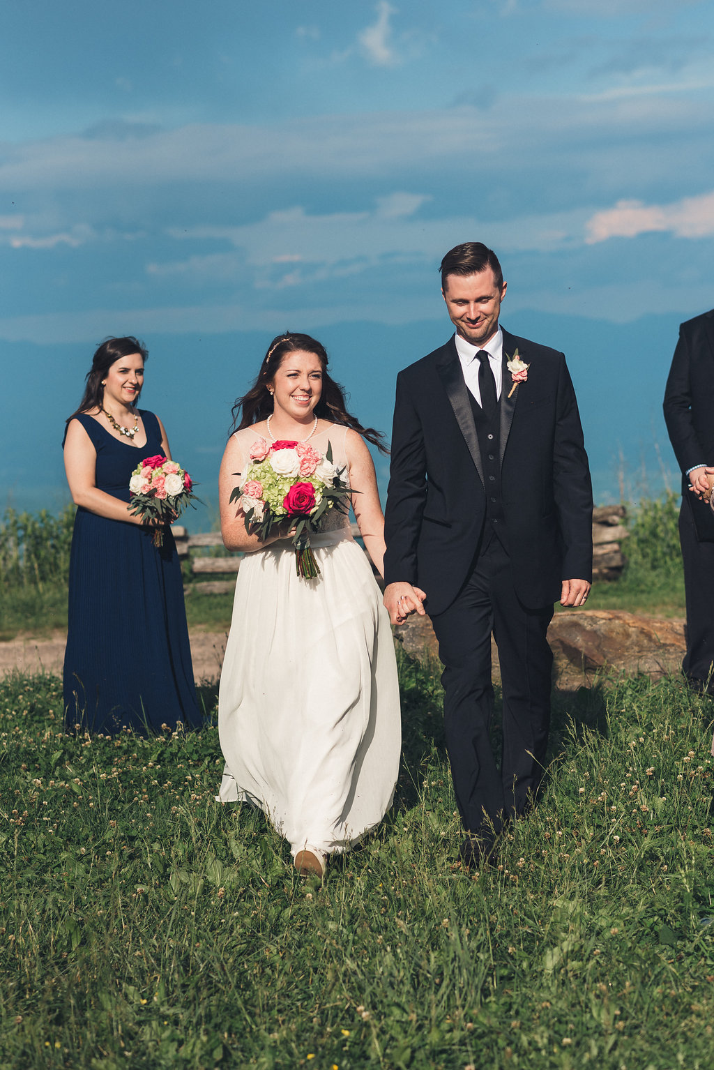
Wayah Bald Wedding: A Nature Lover's Mountain Ceremony in Nantahala, NC
Getting Married at Wayah Bald in the Nantahala National Forest
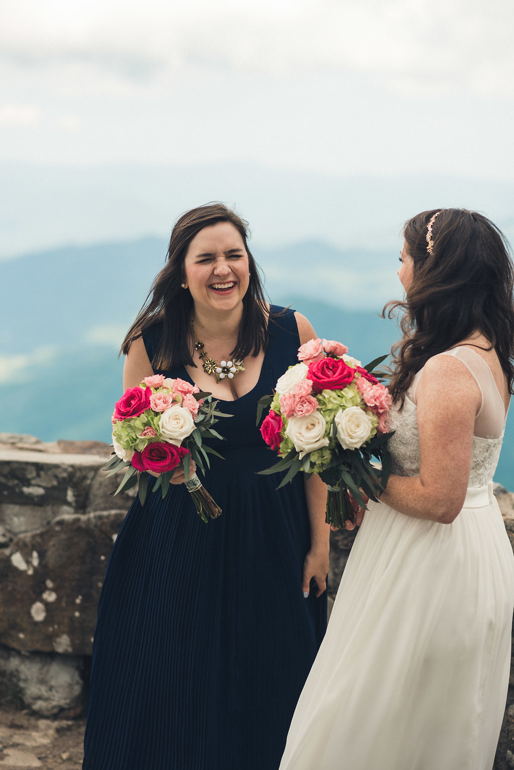
The Iconic Lookout Tower and Mountain Views
A Little History Lesson: Wayah Bald
If you're the kind of person who reads trail signs out loud to your partner, who wants to know why a mountain looks the way it does before you'll agree to hike it-this one's for you. Grab your water bottle. Let's nerd out about a bald.
First, what even is a "bald"?
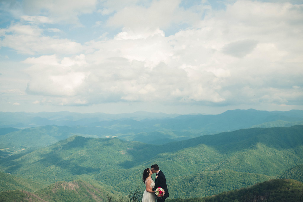
Wayah Bald, just outside Franklin, is one of those magical high-elevation spots that shouldn't really exist the way it does. Above a certain altitude in the Southern Appalachians, you'd expect spruce-fir forest all the way to the summit. Instead, you get open, treeless meadow-either grassy and tundra-like or thick with shrubs-sitting right in the middle of all that green.
Nobody fully agrees on why. Scientists still debate what created and maintains balds like this one; one leading theory points to intermittent lightning-caused fires keeping the trees from taking hold. But my favorite explanation is the Cherokee one: legend holds that the Nunnehi-immortal spirit beings-kept these high meadows cleared on purpose, so eagles would have open ground to hunt rabbits. I like a landscape with a little mythology attached to it. And the rabbits are plentiful up here on the trails, so this makes sense to me!
The name is the whole story
"Wayah" comes from the Cherokee word "Wa ya," meaning wolf-because red wolves once ranged these slopes. And this land has been someone's home, or someone's hunting ground, for a genuinely staggering amount of time: archaeologists have found spear points on the bald indicating indigenous peoples hunted here more than eleven thousand years ago. Eleven. Thousand. Years. Whatever we're doing up there with our hiking boots and cameras is a very recent chapter in a very long book.
Fast forward a few millennia
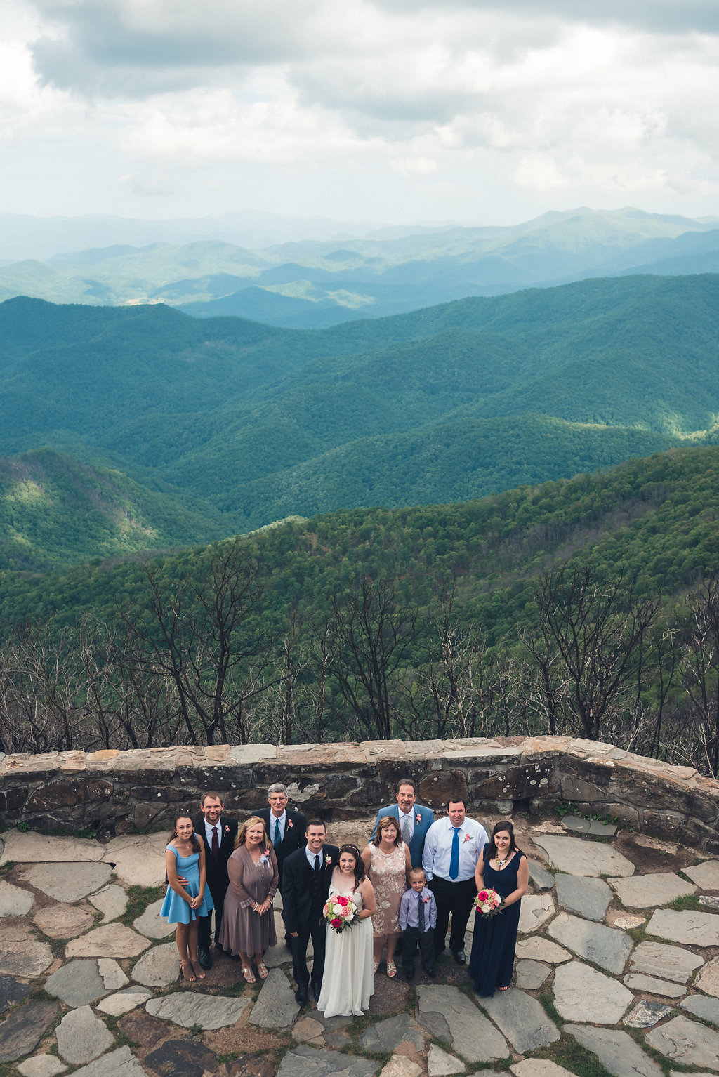
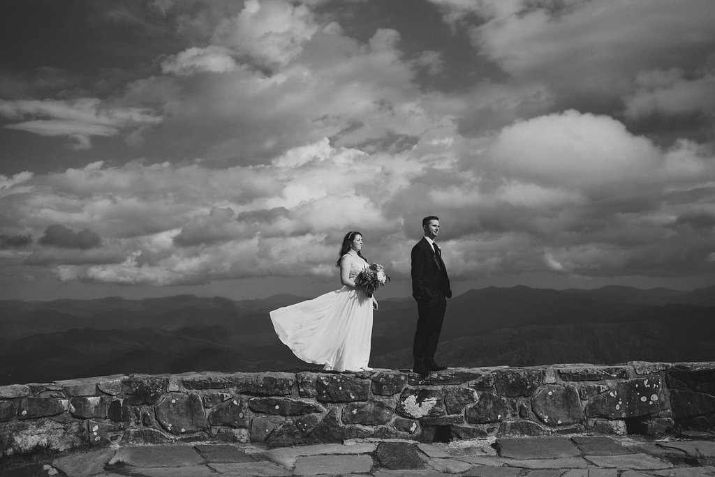
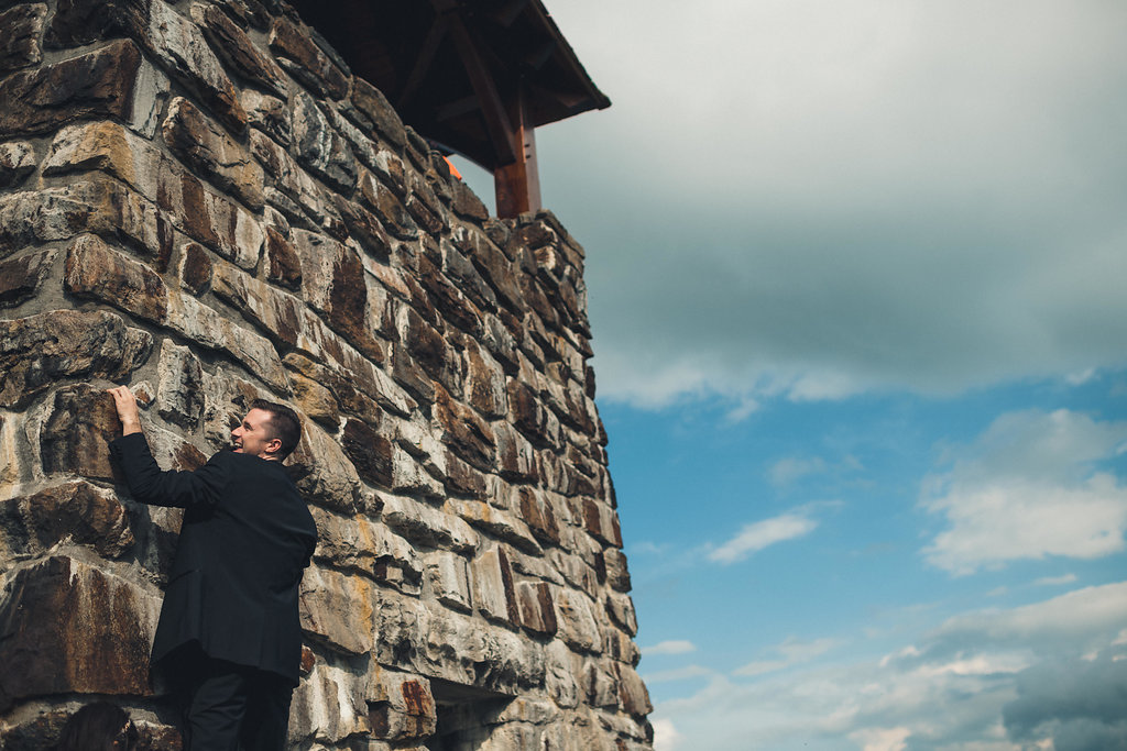
In 1913, the first ranger station in the Nantahala National Forest was built right here on Wayah Bald. Then, in the 1930s, the Civilian Conservation Corps-the same Depression-era crews responsible for so much of the infrastructure we still hike, drive, and camp on across Appalachia-built the stone fire tower that still stands at the summit today. Climb it (you should) and you're looking into three states at once, southern Appalachia unfolding in every direction.
If you're a long-trail person, here's a fun bit of trivia for the trail map in your head: this is one of the rare spots where the Appalachian Trail and the Bartram Trail actually cross, right at the base of the tower.
Why I'm telling you this
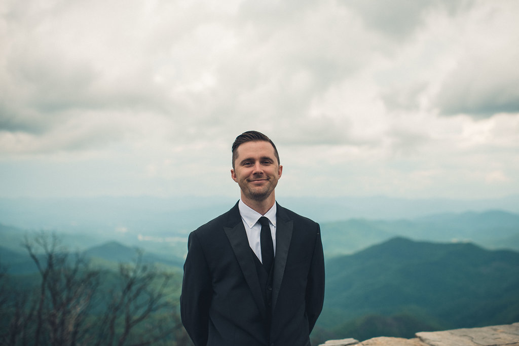
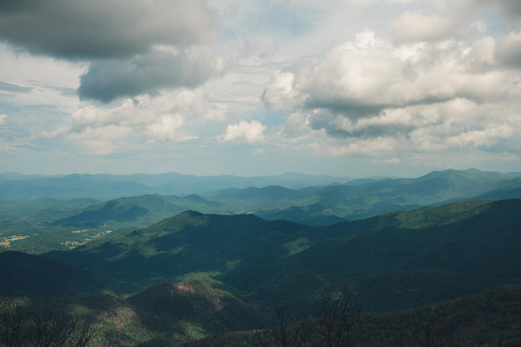
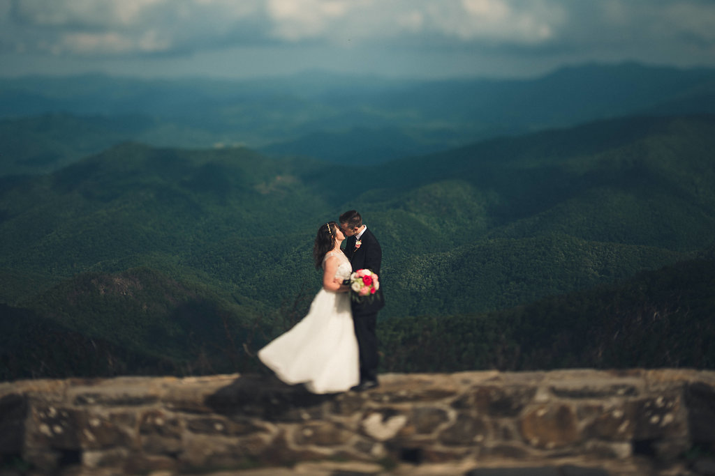
Early summer is when this place really shows off-the rhododendron and azalea come into bloom and the whole bald goes soft with color, mountains layered out behind it in every direction. It's the kind of view that makes people go quiet for a second. Whether you're planning a hike, an elopement, or just chasing golden light with me for a few hours, I think it changes the experience to know you're standing on eleven thousand years of human history, on ground that Cherokee legend says the spirit world itself kept clear.
Public lands like this one don't take care of themselves-they're the result of centuries of people, indigenous and otherwise, tending, protecting, and telling stories about the land. The least we can do is leave it better than we found it (goes without saying), and maybe read the trail sign out loud on the way up. Why not just go ahead and get married here while we are at it?
See you on the trail.
Dreaming of a mountaintop wedding with a view like this? I'd love to help capture your Wayah Bald or Nantahala ceremony.